
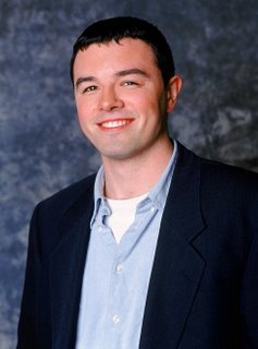
Seth MacFarlane
I like this story for two reasons. First, I've studied animation and I am a student of the art. Second, as a fan of "FAMILY GUY" and one of those that wished it to come back after it got cancelled for the last time on FOX, I read many articles on the guy and I've seen how the story has evolved over the years.
Originally, as the story goes, Seth was scheduled for American Airlines Flight 11, which was hijacked and flown into the North Tower of the World Trade Center. TVshowsonDVD.com has the original interview still up which gives Seth's story.
It occurred after FAMILY GUY was cancelled by FOX and just as it was being brought back to life from cable and DVD's. During the first run on FOX, FAMILY GUY struggled to find the ratings to keep it afloat. Fans kept the show alive for 3 seasons before FOX finally gave up on it. Then, the show was put on DVD and became one of the best sellers. Interest for the show hit a new high when CARTOON NETWORK began re-airing the show on ADULT SWIM, it's late night cartoon block. FAMILY GUY took in monster numbers on the CARTOON NETWORK and soon FOX picked the show back up.
However, in between the two lives of the FAMILY GUY, 9/11 happened. Seth was scheduled to fly to L.A. that morning. According to interviews shortly after the incident, Seth claimed he was late to the plane after staying up too late and drinking with pals. Here's an exert from one of his interviews:
- "Yeah, that came up at one point. I said, "Look, I'm probably as close to that incident as anybody at Fox." There was one point where I was arguing to keep that scene in (a scene with Osama that was later edited out). Yeah, I was booked on that flight and I was drinking the night before and hung over and I missed the plane by about 10 minutes. It was a very close call for me." (TVshowsonDVD.com interview)
- How has that affected you? The only reason it hasn't really affected me as it maybe could have is I didn't really know that I was in any danger until after it was over, so I never had that panic moment. After the fact it was sobering but people have a lot of close calls; you're crossing the street and you almost get hit by a car....this one just happened to be related to something massive. I really can't let it affect me because I'm a comedy writer. I have to put that in the back of my head. Well, I'm glad you got drunk the night before. Yeah, alcohol is our friend. I think that's the moral of that story. Yeah, drinking can save your life. Absolutely.
Over the years the story has changed, with the most popular being he was told the wrong time for the flight by his agent. But, it's nice to know that deep down, one man was saved from the actions of a cowardly terrorist by drinking beer.


 Also, this site at

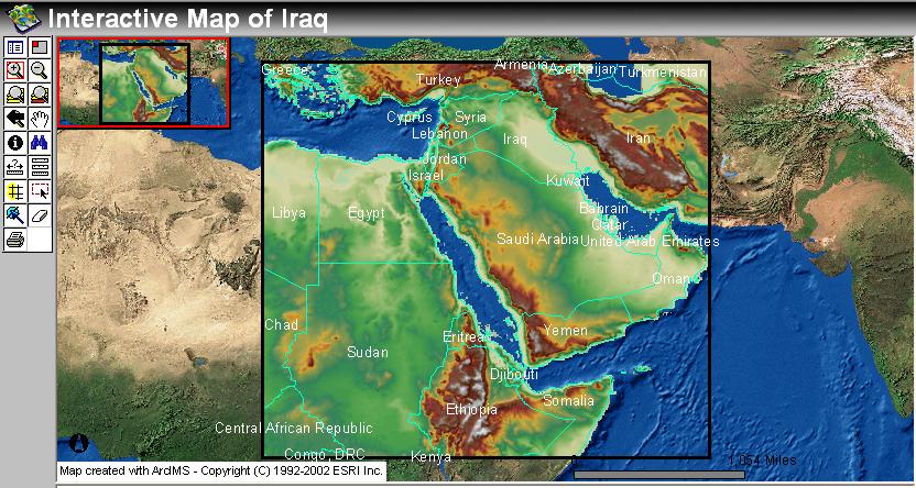
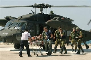 Middle East
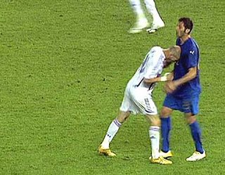 World Cup News:

