Saturday, September 29, 2007

High-Resolution Satellite Imagery and the Conflict in Eastern Burma

This report was produced by the Geospatial Technologies and Human Rights project as part of the Science and Human Rights Program (SHRP; http://shr.aaas.org/ ) of the American association for the Advancement of Science (AAAS). SHRP brings scientists and scientific expertise to efforts to achieve human rights around the world. Monitoring human rights violations in eastern Burma with satellite imagery utilizes on-the ground information reported via websites and email from organizations active in the region.

Satellite image analysis regarding the conflict in eastern Burma by the AAAS seeks to corroborate reporting gathered by organizations already active in the region. AAAS analyzes information from such organizations, and then – if possible – reviews satellite imagery that might corroborate reported attacks on civilians and other human rights violations.

Since late 2006, the Science and Human Rights Program of the American Association for the Advancement of Science has compiled a set of high-resolution satellite images to document the ongoing conflict in Karen State and other regions of Burma. This study in Burma follows similar activities undertaken by AAAS on Zimbabwe, Darfur, and elsewhere as part of its Geospatial Technologies and Human Rights project.

Using ‘before’ and ‘after’ imagery, certain changes – such as the razing of a village – can be identified and analyzed. Specifically, by visually comparing the newer imagery with images collected prior to reported attacks, features such as villages and structures that have been removed in the intervening years are relatively easy to identify. Likewise, new construction, such as military bases or recently added villages, is also relatively easy to identify. Some other features, such as agricultural abandonment and burn scars, can be tentatively identified, though they may require deeper levels of analysis not always feasible. Visual inspection of the imagery is the primary methodology in use, and in some circumstances multispectral analysis is also utilized.

The entire 43 page report of the Burma Conflict is complete with analysis and comparative high-resolution satellite image. [more]

Saturday, September 08, 2007

The New 7 Wonders Of The World - 360 Degree Panoramas

Take a look at the newly announced 7 Wonders of the World in breathtaking 360 degree panoramic pictures.

From Rio to the Great Wall of China to Chichen Itza (the only one I've seen in person), this collection of all 7 sites has a high-res Fullscreen QTVR picture that allows you to not only turn around but to zoom in for higher detail. [+more]

Tuesday, September 04, 2007

NFL Blackout Maps

One of the best things about the fall season is the start of the football season. With the regular season starting this week it raises the question which games will be broadcast in your home market. This NFL Blackout map can help you figure out.

While it seems NFL rules state they must play at least one boring and mismatched game a weekend there is actually some decision making behind it. The NFL TV distribution map chops up the U.S. market by games being broadcast. [ ...more

Also on tap is the Google Maps mashup with NFL stadiums by location. This map indicates the city for each team. You can zoom in and use the usual Google Maps features like satellite images and roads. It looks like the pins mark each stadium from the few I tried and not just the city. [ ...more] This NFL Team Map takes a similar approach but instead of the stadium links the team icons point toward that teams homepage. [ ...more] This NFL Team Schedule Map uses the same principle but instead of linking to another page it will show you the team schedule, record, and conference information. Not sure what's up with their map projection but it looks a little distorted. [ ...more]

Monday, September 03, 2007

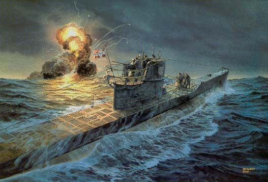
Map of Lost German World War II U-Boats

PBS aired an episode of NOVA called "Hitler's Lost Sub," which depicted more than 1,100 Unterseeboote, or U-boats, and where they were sunk, scuttled, captured, or otherwise lost to German forces during World War II.

Naval historian Timothy Mulligan describes 25 of the most historically significant U-boats. Click on the map labels and plunge into the fascinating and often tragic histories of some of Germany's most notorious "sea wolves." [ ...more]