I usually base my opinions of different countries on the quality of good satellite images available. That and their food. Cuba is good, and not just because of their great images available on Google Earth. Any culture that utilizes Black Beans is alright in my book.
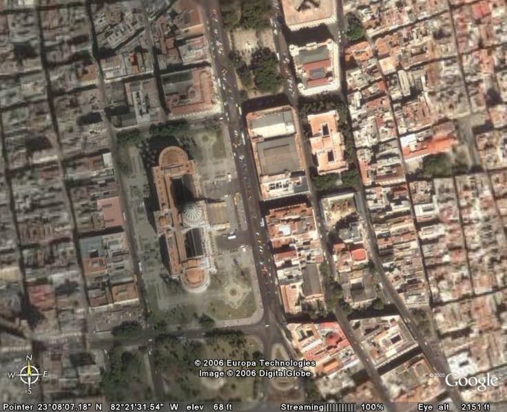
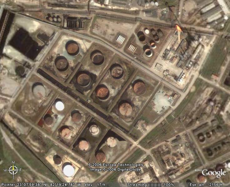
But, back to the images. I liked placing these images online in hopes it encourages people to try applications like Google Earth and play with it. If you know your Cuban history, you already know what the image is below. As for the rest, the second is a railyard near the harbor. In fact, all of these images are from Havana, the capital highlighted in the map above. I got a lot of feedback on the images of Guantanamo Bay from last week, so I thought I'd post some more Cuban themed images.
I like the image because is looks like someone dropped a box of crayons on the ground. Be sure to check out the newest version of Google Earth to have fun finding these images for yourself.
 Cuba, with Havana highlighted.
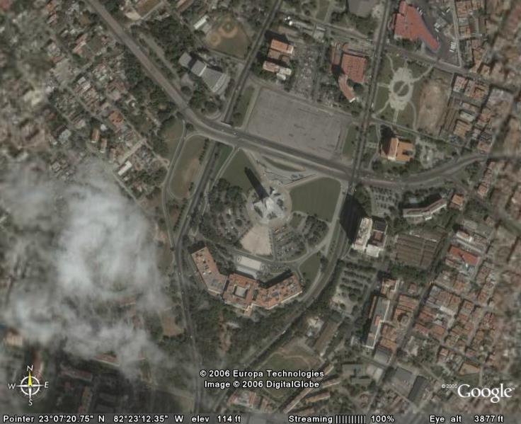

2 comments:
very good photographs.
excellent. keep it up
Thank you very much.
Post a Comment