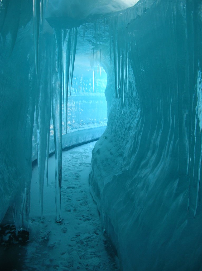
 Antarctic Ice Flow Tunnel
 Thanks to Jason @ Florida GIS Data Blogspot for the heads up on this:
IBISEYE.com is still in its beta version, but the program is solid and valuable to anyone needing Hurricane data, both current and past. The amount of time and effort put into this site shows with the details in data and presentation. Also, with hurricane season approaching fast, this site will definitely be making the rounds of websites.
Also, there a new way to "look" into storms with satellites. Live Science.com reports:
"NASA's new CloudSat satellite reveals never-before-seen details of both the clouds and precipitation within a storm, from the Earth's surface to 19 miles high."
Click here for IBISEYE.com Homepage.
Click here for LiveScience.com article on new Satellite.
No comments:
Post a Comment