 U.S. meteorologists are finding a new use for hurricane satellites during the offseason. They will move the satellite to areas with more pressing needs.
From article:
U.S. meteorologists are finding a new use for hurricane satellites during the offseason. They will move the satellite to areas with more pressing needs.
From article:
In October, the U.S. National Oceanic and Atmospheric Administration plans to reposition an aging but reliable 9-year-old satellite high over the Brazilian Amazon to provide full-time coverage for forecasters who now weather long periods without regular images during U.S. hurricane season.
US Satellite Article
Google Map of Amazon
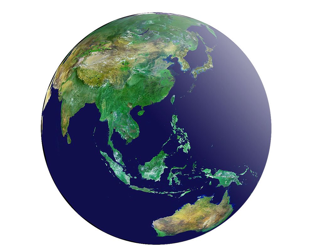
Also, the Japanese Aerospace Exploration Agency (JAXA) regularly updates its site of climate and satellite images. First to note is their Global Navigator, an interactive map of the world with highlighted points of interest. Then, on their main site, are archived data sets and articles on everything from hurricanes to La Nina. There are some great articles for research to be found here.
No comments:
Post a Comment