 Guten Tag und Wiener Snitzelenblickensieheir....
I have added 5 German GIS links today. They are as follows:
Guten Tag und Wiener Snitzelenblickensieheir....
I have added 5 German GIS links today. They are as follows:
- Bayern Region GIS
- Bonn Region GIS
- Mainz Stadt (City) GIS
- Nürnberg Stadt GIS
- Wesseling Stadt GIS
Long live the 'Hoff!
Guten Tag und Wiener Snitzelenblickensieheir....
I have added 5 German GIS links today. They are as follows:
Long live the 'Hoff!
 Here are some HQ pics of the aircraft carrier Oriskany being scuttled to become a reef in the Gulf of Mexico. Check out the small boat on the deck of the Oriskany. I bet you could have sold some tickets to be in it.
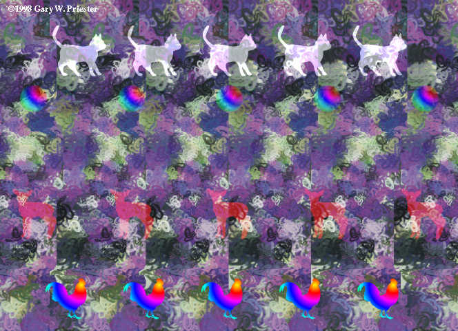 Remember those 3D pictures that everyone would stare at and see a cat or the space shuttle while you gave yourself a headache?
Well, here are some more for you to pop you eyes at.
Hint, the above one is a bunny!
Follow the link below for more.
Remember those 3D pictures that everyone would stare at and see a cat or the space shuttle while you gave yourself a headache?
Well, here are some more for you to pop you eyes at.
Hint, the above one is a bunny!
Follow the link below for more.
 Well, another season of "Lost" has wrapped up and as usual left a bunch of questions up in the air. The show is shot in Hawaii and has garnered some attention as to where all the famous backgrounds are shot. About.com has the most defined answer to those questions, but I have also included a slew of other sites that might help those with questions on the filming.
Also, for a limited time, ABC.com is showing "LOST" online as a trial internet TV site. Click the first link for more info on ABC's Online TV.
ABC's ONLINE TV link here!
About.com's guide to "LOST" locations.
Link for IGN "LOST" locations.
LINK for Sledgeweb's "LOST" map.
"LOST" defined here.
Click here for Dave & Thomas Pics of Evangeline Lily (Kate on LOST)
Well, another season of "Lost" has wrapped up and as usual left a bunch of questions up in the air. The show is shot in Hawaii and has garnered some attention as to where all the famous backgrounds are shot. About.com has the most defined answer to those questions, but I have also included a slew of other sites that might help those with questions on the filming.
Also, for a limited time, ABC.com is showing "LOST" online as a trial internet TV site. Click the first link for more info on ABC's Online TV.
ABC's ONLINE TV link here!
About.com's guide to "LOST" locations.
Link for IGN "LOST" locations.
LINK for Sledgeweb's "LOST" map.
"LOST" defined here.
Click here for Dave & Thomas Pics of Evangeline Lily (Kate on LOST)

 Here's another daily update from NASA's image of the day program. This time around, the volcano in Alaska the exploded recently near Anchorage is caught from above.
Nice!
Be sure to follow the link below for more on this from NASA.
LINK: http://earthobservatory.nasa.gov/Newsroom/NewImages/images.php3
 A big night in updates, as I have added 69 Links of various nature to the site. Most are GIS sites with the exception of 22 Arkansas Assessor links. Also, the US Census data and a couple of Mobile home park search sites that we use are added to the GIS Resources link as well as a new category for Washington, D.C., which is an assessor site. The following is a complete list of added sites from this weekend:
 If there's ever anything you needed to know about mapping, remote sensing, or GIS then you've most likely heard of the GIS Internet resource site. If not, then jump on over and check out 4 pages of links from everything to GIS.com to college institutions with mapping programs.
 Actually, this has nothing to do with GIS, but I found it interesting. Check out this "Fast Food Calorie" site where you try to guess how your fast food stacks in calories. Then again, you may not want to know.
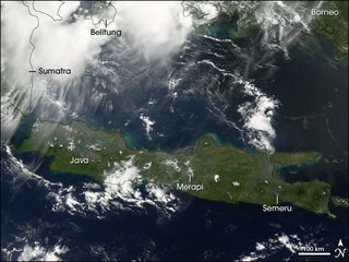 Ohhhh!
  The USGS has a site to show the current earthquakes report from around the world. It should suprise you how many occur in a given day, with the most being around the Pacific Ring of Fire.
 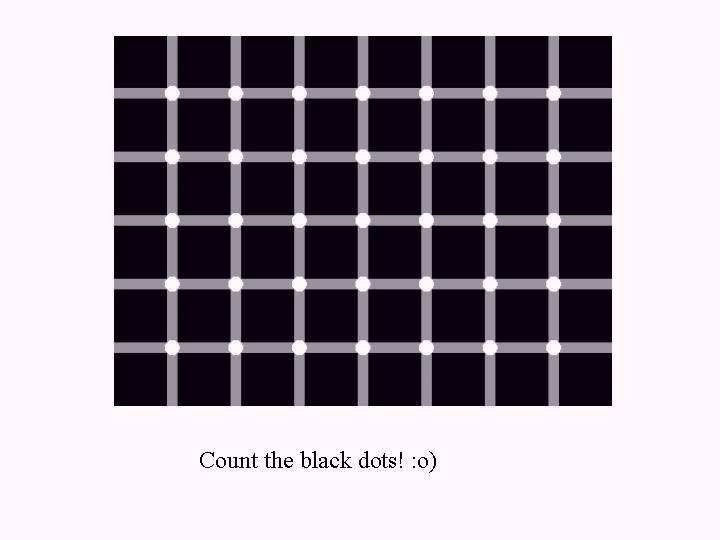 I want to thank Jason Spalding at emGISt, Inc. (Enterprise Management & Geographical Information System Technologies) down in sunny Florida for his site, http://www.gis-data.blogspot.com/ and his link on that page. If you ever needed to know GIS info about Florida, than http://www.gis-data.blogspot.com/ is the place to stop. He has all the meta data and shapefile links you could want. You can find his link under 'GIS Company Links' in the main menu or on the sidebar under 'Links'.
By the way, how many black dots can you count?
Cruel, isn't it?
I want to thank Jason Spalding at emGISt, Inc. (Enterprise Management & Geographical Information System Technologies) down in sunny Florida for his site, http://www.gis-data.blogspot.com/ and his link on that page. If you ever needed to know GIS info about Florida, than http://www.gis-data.blogspot.com/ is the place to stop. He has all the meta data and shapefile links you could want. You can find his link under 'GIS Company Links' in the main menu or on the sidebar under 'Links'.
By the way, how many black dots can you count?
Cruel, isn't it?  MSN has launched Celebfavorites.com to the delite of stalkers everywhere. They have taken the MSN VirtualEarth and added a celeb playlist, of sorts. Different celebs pick their favorite places, mostly in hometowns, and have little explanations. So, if you would like to know where Anna Kournikova hangs out to party in Miami, Florida, than this is the site for you.
 Thanks to everyone who helped make this site #1 with MSN Search for people looking for 'GIS Links.' I can't thank you enough. Now, on to Google and Yahoo search!
Also, I added some more GIS sites tonight. They are:
Thanks to everyone who helped make this site #1 with MSN Search for people looking for 'GIS Links.' I can't thank you enough. Now, on to Google and Yahoo search!
Also, I added some more GIS sites tonight. They are:
Once again, thanks for you web traffic!

 Wayfinder is a tool to put a digital world into your cell phone. Digital Geography.com has written a review of the product and lets you in on the good and bad of the program. For now, the program remains free, but it looks like upgrades may be needed for a fee in the near future. Integrating a GPS system looks to cost a little $.
 Factmonster has gathered a ton of information here and put them all in one, easy-to-use website. This site is great for research or just burning time. All the world is easily accessed here through maps and stats. Crossword puzzles and quizzes are thrown in for good measure to test your skills.
CLICK HERE FOR FACTMONSTER-ATLAS!
Factmonster has gathered a ton of information here and put them all in one, easy-to-use website. This site is great for research or just burning time. All the world is easily accessed here through maps and stats. Crossword puzzles and quizzes are thrown in for good measure to test your skills.
CLICK HERE FOR FACTMONSTER-ATLAS!
 Many consider this one of the best sites for cosmic downloads. There are downloads for the universe you can get for your computer to play with. The Hayden Planetarium is part of the American Museum of Natural History in New York City.
Click here for Hayden Planetarium Link.
Many consider this one of the best sites for cosmic downloads. There are downloads for the universe you can get for your computer to play with. The Hayden Planetarium is part of the American Museum of Natural History in New York City.
Click here for Hayden Planetarium Link. 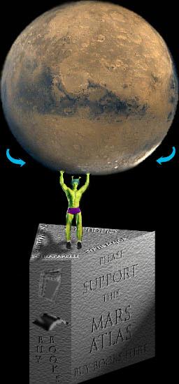 More stellar mapping online with an Atlas of Mars from roving-mouse.com. Not sure who they are, but they have compiled images of the Martian soil for your viewing. After you click on the link, hit anywhere on the image of Mars to the left and it will take you to the images. Crude, but effective.
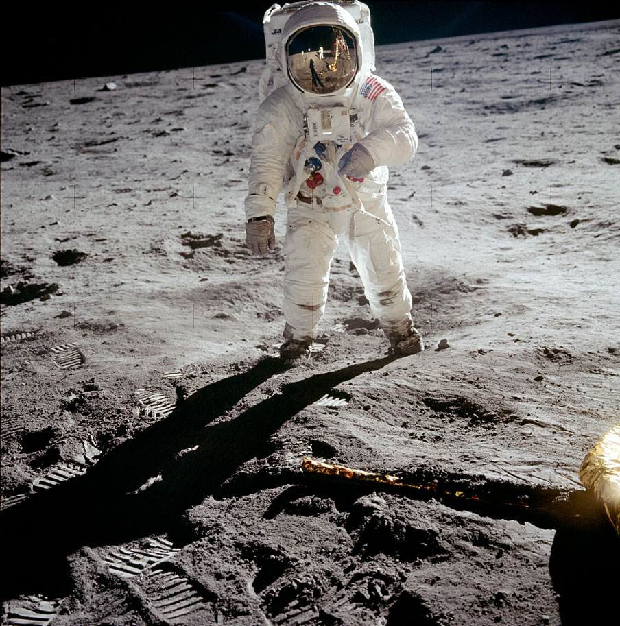
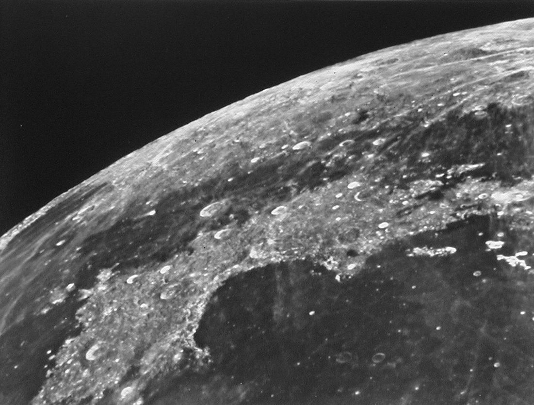
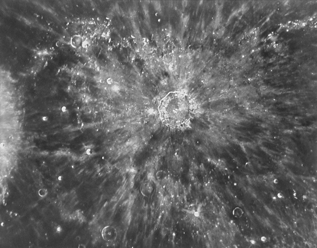
Burn some time up with this lunar atlas. Be sure to check out the map catalog and cool pictures of the moon's surface. The website is from the Lunar and Planetary Institute out of Houston, TX. Overall, they have put together a good site with easy navigation.


